Digitise your Topographic surveys
Carry out topographic surveys of the same quality as the highly accurate measurements collected by traditional methods, but in a fraction of the time.
"Getmapping are one of GN Surveys trusted and strategic partners. We have worked collaboratively on multiple projects, using their best-of-breed Mobile Mapping technology. The data is always high quality and delivered on time. The innovative approach provided a cost-effective solution to having a monthly topographical survey. "
A survey solution trusted by construction professionals

A trusted solution
We work with hundreds of house builders, highways and civil engineering companies on projects of many different scales, from small individual projects to larger projects such as mapping a city's transportation network or even a country's infrastructure.
How it works
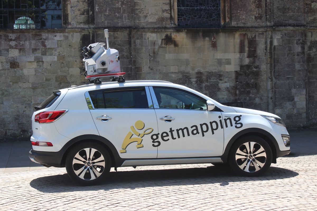
Mobile Mapping replaces boots on the ground using specialised, vehicle-mounted 3D mapping technology to digitise the environment. It is 10 x faster than traditional survey techniques, with average cost savings of >25%.
Ideal for initial site analysis, as-built and progression surveys, it is an efficient solution for obtaining regular updates to monitor and track change.

Delivers the data you need, the way you need it
We can deliver the captured imagery and data in a variety of ways, tailored to meet your individual requirements.
Street level imagery
High resolution 360° panoramic imagery
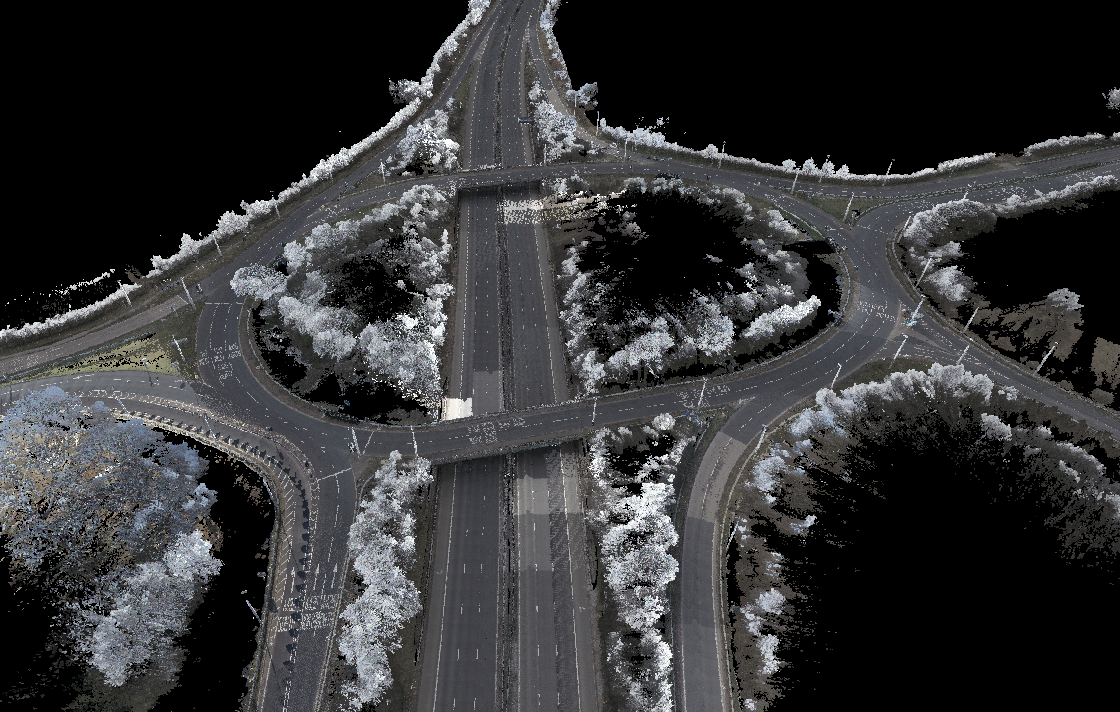
Point cloud datasets
Survey grade, high-density point clouds.
Customisable Outputs
Customisable CAD drawings and data extractions
Supported by smart visualisation tools
Getmapping's SmartView platform makes it easy to manage 360 degree street level imagery and large, bulky point cloud datasets on your desktop. Visualise, measure, manipulate and annotate data to draw informed insight and deliver better business decisions.
SmartView also provides access to Getmapping's comprehensive UK aerial imagery layer, including our new 5cm CityView content , for a complete and unique 'air down / ground up' perspective, easily visualised on one screen.
Sign up for a free Proof of Concept
Latest posts
Mobile Mapping - a super agile solution that delivers engineering grade survey data, fast


%20(002).jpg?width=1773&height=2364&name=07.09.2021%20-%20Hurst%20(Shaft)%20(002).jpg)

